Surprise Hail Storms Strike Eastern Iowa [PHOTOS]
After an unseasonably warm April day, the weather turned violent across eastern Iowa early Tuesday evening.
The normal high in Cedar Rapids is 60 degrees on April 7, but after the temperature soared to 78 just before 4 p.m., storms started to brew.
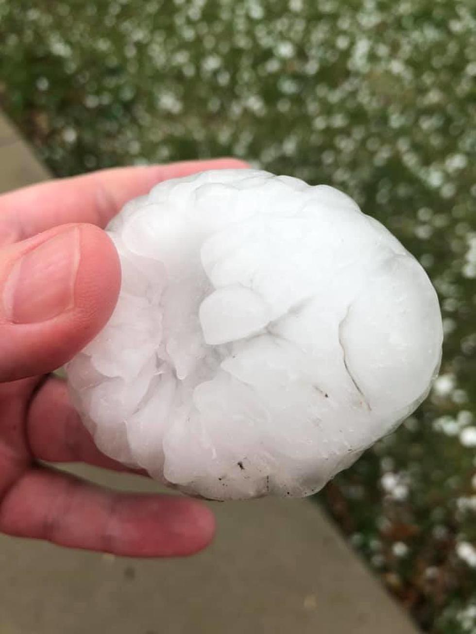
The first severe thunderstorm warning was issued right around 6 p.m., and the hailstones soon followed. The pictures below are from different quadrants of Cedar Rapids and Marion, though hail was widely reported in many areas of Hiawatha, as well. Much of the hail was reportedly around golf ball size.
A Severe Thunderstorm Watch remains in effect for the counties in pink until 11 p.m. this evening.

Best wishes to everyone who suffered damage from tonight's storms, as we've heard a number of reports already. If you have photos you'd like to share, please include them below.

Surprise Hail Storm Strikes Eastern Iowa
More From 97.7 KCRR