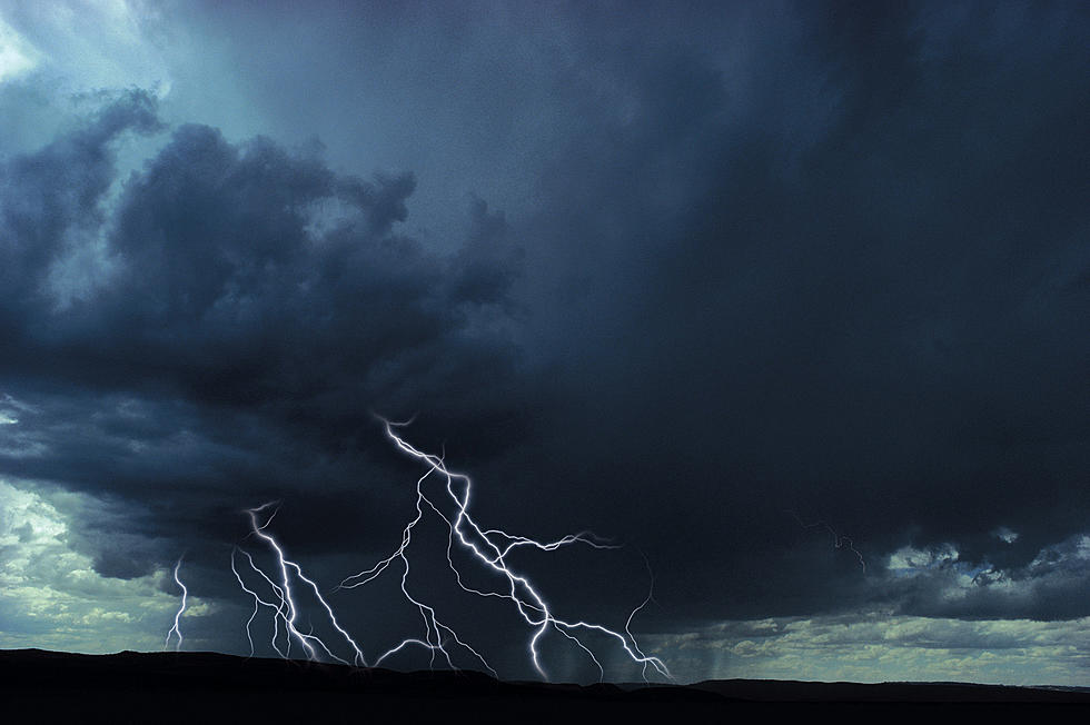
Strong Storms Possible in Iowa Early Thursday Morning
The National Weather Service in Des Moines says that very active weather is expected late tonight into Thursday morning.
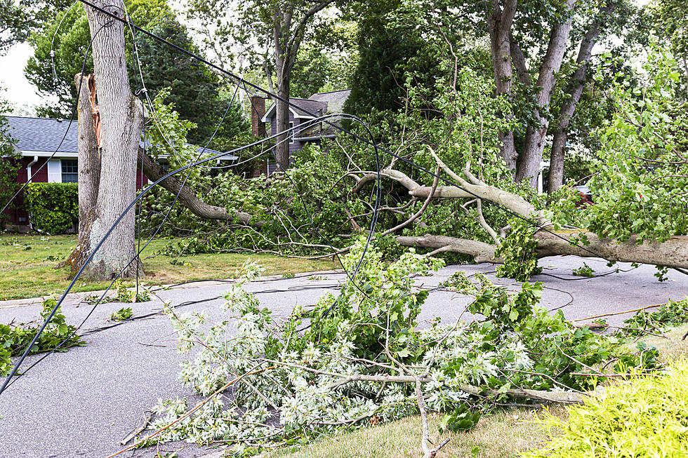
Storms will race into western Iowa early Thursday morning and speed across the state. The storms are likely to bring locally heavy rainfall, frequent lightning and potentially damaging wind gusts.
As of early Wednesday afternoon, it looks like most of the potentially damaging storms could occur in the Southwestern portion of Iowa:
In April, Waterloo received just .46" of measurable rain from six days of precipitation. So far in May, 2.5" of rain has fallen in Waterloo, about an inch below normal. It has rained at least a trace in 14 of the first 25 days of the month.
So far this year, the National Weather Service in Des Moines has issued seven Severe Thunderstorm Warnings and Tornado Warnings COMBINED. At this point in 2020, there was a total of 39 combined Tornado and Thunderstorm warnings issued by the Des Moines office.
This is the FEWEST COMBINED AMOUNT EVER issued to this point of a calendar year by the National Weather Service in Des Moines.

After the storm system rolls through the state, the temperatures will descend throughout the day on Thursday to around 50 by the evening hours. Friday morning's low temp is expected to be in the lower-40s and it will be even colder on Saturday morning with projected low temps in the upper-30s, which would make it one of the Top 10 coldest low temps in Waterloo on May 29th.
The high temperature on Friday, May 28th, will only reach the mid-50s, which would make it one of the Top 5 coldest HIGH temperatures for that date. The coldest HIGH temperature for May 28 in Waterloo is 50 set in 1965.
KEEP READING: Here are the best places to retire in America
11 Things You'll Find in Every Iowa Home
More From 97.7 KCRR