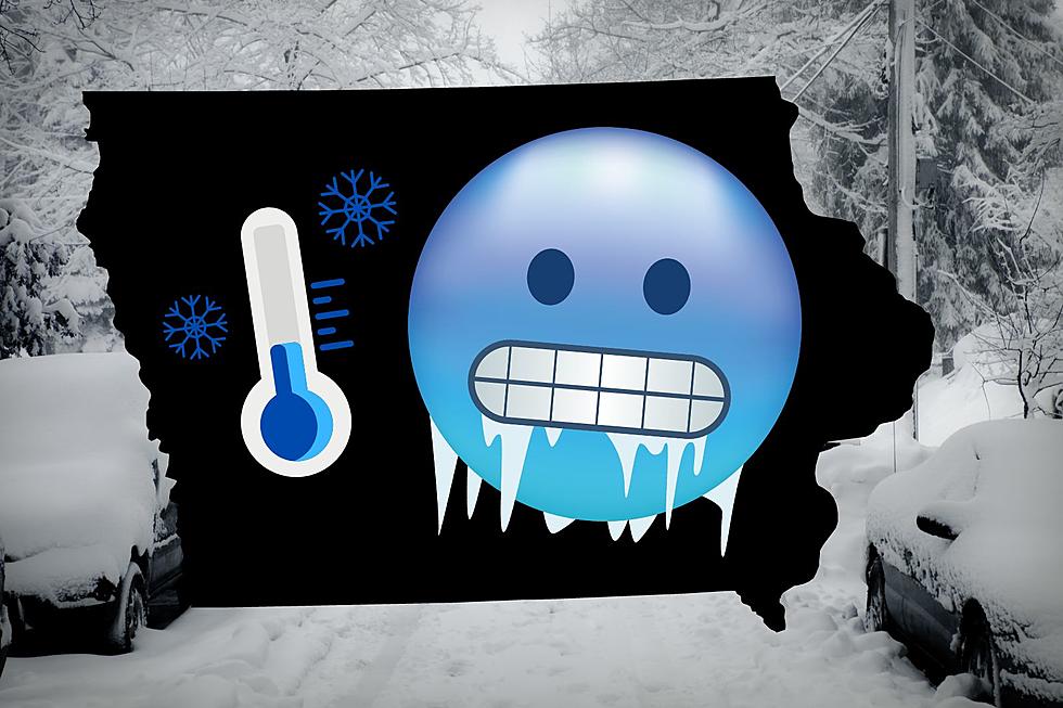
Iowa May Experience a ‘Flash Freeze’ This Week
Something called a "Flash Freeze" may hit Iowa Wednesday into Thursday. The National Weather Service in Des Moines says: With the sharp cold front tomorrow afternoon/evening across the state, temps are likely to drop 15-25°F in 3 hours. We may be above freezing before the cold front hits, causing a little runoff/snowmelt...then with the rapid freezing temps, roads could quickly ice up.
Temps will plummet 30-45 degrees from Wed into early Thu morning as bitterly cold, arctic air returns to Iowa. Wind chills in the teens to 30s below zero will be common by Thu morning with highs struggling to reach the single digits on Thursday.
Waterloo could experience a nearly 50* swing in 'apparent temperature' in just 18 hours, from Wednesday afternoon into Thursday morning. Ouch.
Credit: NWS Des Moines via Twitter
More From 97.7 KCRR