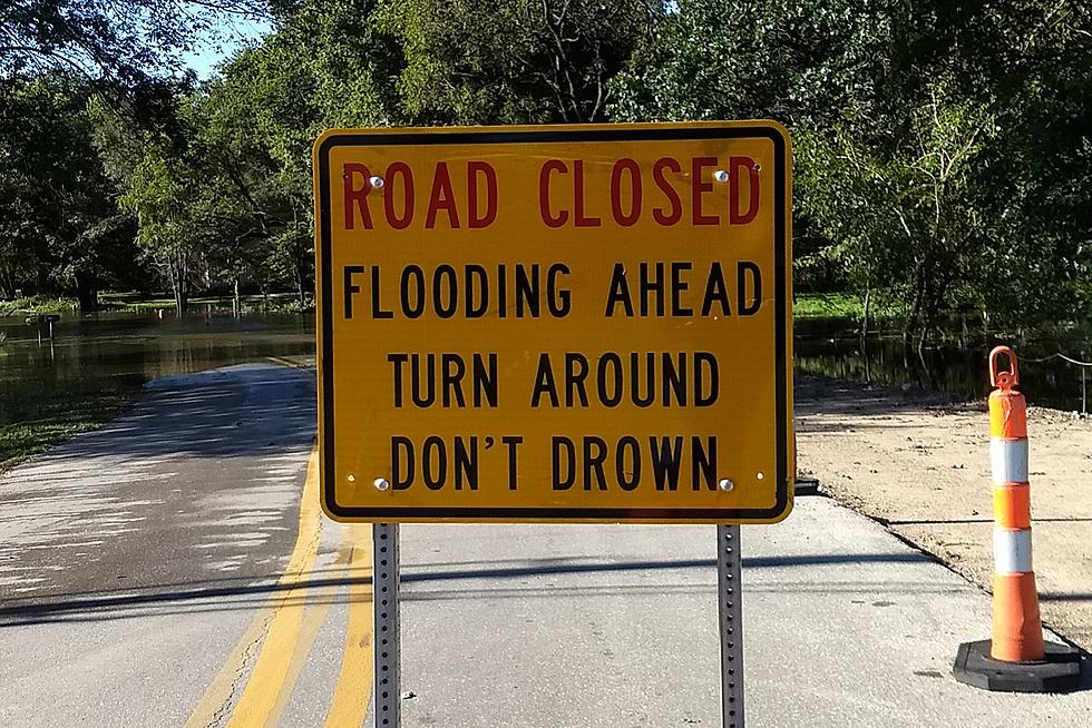
UPDATE: Heavy Rain Causes Flooding In Northeast Iowa
Heavy rainfall in northeast Iowa has resulted in widespread flooding for parts of the region.
The National Weather Service has issued a flash flood warning for central Buchanan County until 9:30 AM Monday. Flood warnings are posted for Butler and Franklin Counties until 2:45 AM Tuesday; and for Grundy, northwestern Tama and northeastern Marshall Counties until 2:30 AM Tuesday. In Black Hawk County, a flood warning for Black Hawk Creek from Hudson to the Cedar River in Waterloo has been extended through early Tuesday morning.
Storms that moved across the region Sunday night reportedly dumped six inches of rain in Dumont and produced one-inch diameter hail that fell in Clarksville. Some locations reported wind gusts as high as 70 mile-per-hour, and a shelf cloud was spotted over Waverly.
Thunderstorms continued their slow trek across the northeast Iowa early Monday morning. At 3:30 AM, doppler radar indicated up to three inches of rain had already fallen over parts of the warned area. Flash flooding was expected to expected to begin shortly in Buchanan County, impacting low-lying areas in and near Independence.
Around 2:30 AM, the National Weather Service reported that automated rain gauges indicated heavy rain had occurred in Butler and Franklin Counties. NWS forecasters replaced a flash flood warning, issued Sunday night, with a flood warning that extended through early Tuesday morning. Late Sunday evening, emergency management officials reported that several secondary roads were underwater across Butler County, particularly south of Dumont in the area of County Road T-16 (Douglas Ave.) and 260th Street.
Also around 2:30 AM Monday, local law enforcement officials in Grundy County were reported flooding along Iowa Highway 175 east of County Road T-55 between Morrison and Reinbeck.
In Black Hawk County, the National Weather Service upgraded the flood forecast for Black Hawk Creek between Hudson and the Cedar River in Waterloo. Minor flooding was initially expected, but was changed to moderate after more heavy rain fell over the area early Monday morning.
At 2:45 AM Monday, Black Hawk Creek was about 0.9 feet above its 14-foot flood stage. Minor flooding was occurring. The water level was expected to crest at about 15.1 feet Monday morning, then go below flood stage around midnight.
At 14.5 feet, portions of Ranchero Road west of U.S. Highway 63 on the southern edge of Waterloo are usually flooded.

More From 97.7 KCRR


