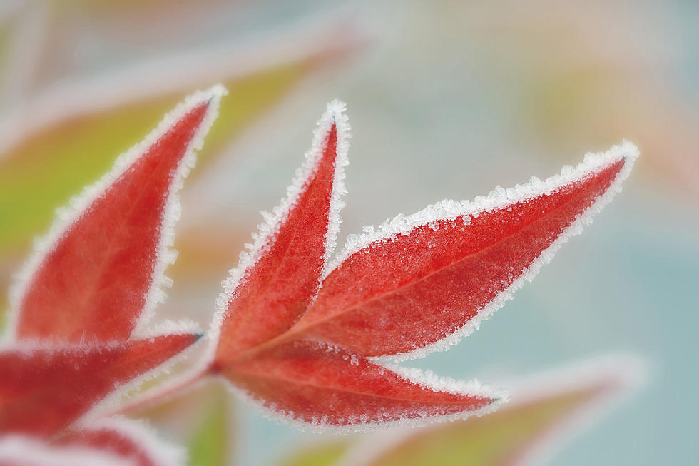
First Frost to Hit the Cedar Valley Thursday Night
It's much later than normal, but the Cedar Valley looks to be receiving its FIRST FROST of the fall season late Thursday night/Friday morning.
The National Weather Service in Des Moines has issued a FREEZE WARNING for 29 counties in Iowa in those surrounding Black Hawk.
The warning technically goes into effect 1 AM Friday and runs through 9 AM as temperatures in the Waterloo area are expected to bottom out around 33.*
The numbers represent areal coverage...
1 = Patchy Frost
2 = Areas of Frost
3 = Widespread Frost
Frost is predicted when air temperatures reach 32°F (0°C), but because it is colder closer to the ground, a frost may occur even when air temperatures are just above freezing.
Light freeze: 29° to 32°F — tender plants are killed.
Moderate freeze: 25° to 28°F —widely destructive to most vegetation.
Severe freeze: 24°F and colder—heavy damage to most garden plants.
The National Weather Service says:
Take steps now to protect tender plants from the cold. To prevent freezing and possible bursting of outdoor water pipes they should be wrapped, drained, or allowed to drip slowly. Those that have in-ground sprinkler systems should drain them and cover above-ground pipes to protect them from freezing.
In 2020, Waterloo’s first date of the season below 32* was October 4. The last time temps bottomed out below the freezing point in September in Waterloo was 9/23/2012 when it was a chilly 29. (It also reached 29* on 9/30/12)
According to Iowa State University’s Horticulture Extension, Waterloo’s first frost, generally, occurs on September 30th. (Using weather data collected from 1971 to 2000).
The latest 'First Frost' of the season in Waterloo occurred on October 25th, 1914.
LOOK: What major laws were passed the year you were born?
See How School Cafeteria Meals Have Changed Over the Past 100 Years
More From 97.7 KCRR
![New Cedar Rapids Wedding Venue Offers Courtyard and Putting Green [PHOTOS]](http://townsquare.media/site/675/files/2022/04/attachment-Untitled-design-52.jpg?w=980&q=75)


