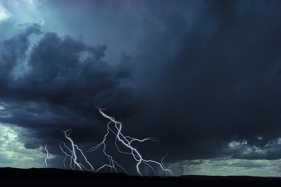
Enhanced Risk for Severe Weather Today in Northeast Iowa
The National Weather Service in Des Moines says that large hail, damaging winds, and a few tornadoes are likely in northeast Iowa today (Thursday, May 3, 2018).
Earlier this morning, the NWS released a statement which said: "There is an Enhanced Risk of severe weather today and tonight. Large hail, a few tornadoes, and damaging wind gusts will be possible."
Weather spotters will likely be needed from time to time through this evening.
The biggest threat for strong weather activity lies in central and southern Iowa, but that doesn't rule out the possibility of severe storms impacting northeast Iowa.
Today's forecast calls for a 70% chance of showers & thunderstorms, especially after 4 PM. The high temperature is expected to climb to the low 70's and be humid. New rainfall amounts between a quarter- and half-inch are possible. Heavy rainfall is possible in some locations, and that could result in isolated areas of flash flooding.
The likelihood of showers & thunderstorms increases to 90% overnight, especially after 4:00 AM on Friday. New rainfall amounts between a half- and three-quarters of an inch are possible. Temperatures will be in the low 50's.
Looking ahead, the sun should return to Iowa on Friday and Saturday, but there is another round of rain possible late Saturday into Sunday (30% chance) and then again Tuesday into Wednesday.
More From 97.7 KCRR