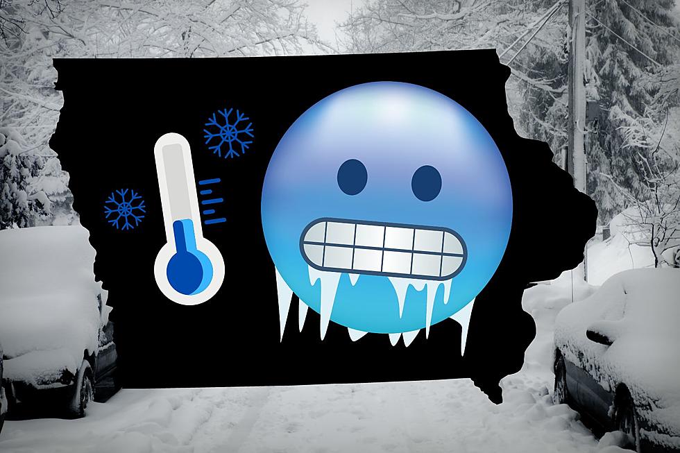
Iowa’s First Major Snowstorm Brings Blizzard Like Conditions
Iowa's First Major Snowstorm Brings Blizzard Like Conditions
If you were thinking, 'dang! I really wish we could have had a white Christmas!' Get ready to receive your holiday wish a few weeks too late!
It's been a warmer-than-average winter so far all throughout the country. According to reports, this all has to do with an El Niño.
Officials from Health and Human Services describe it as something that, "occurs when ocean waters in the equatorial Pacific Ocean become warmer than average, which results in shifts in the jet stream that can drive changes in weather around the globe."
Now, Iowans are predicted to get hit by the first snowstorm of the season.

Winter Storm Warning Throughout Most of Iowa
Early reports from the National Weather Service predicted that a large majority of Iowa will be under a Winter Storm Warning early on this week. Now, the experts from NWS are reporting that heavy snow is expected throughout the state.
Total snow accumulation is predicted to be somewhere between six and eleven inches.
In addition, this weather event is set to bring with it near blizzard like conditions due to the wind gusts as high as 45 MPH and minor ice accumulations, according to the National Weather Service.
Officials at KCRG, are reporting that the snowfall rates in Eastern Iowa could be of an inch per hour or more. Our neck of the woods is anticipated to get around five to ten inches of total snowfall.
Where & When Will It Hit?
Our weather partners at KCRG, are predicting that the snow will begin to fall at around 3:00 PM in Iowa's southern and western counties, and quickly spreading out to the northeast over the course of a few hours. Officials predict that areas up to about U.S. Highway 30 could see snow by the time you get into your car and head home in the evening.
The heaviest snowfall will most likely be Tuesday morning during the morning commute. Snow is set to last AT LEAST until Tuesday evening. Wind gusts will increase and could gust up to 40 MPH.
More snow is possible on Thursday and Friday.
The commutes on Monday evening and on Tuesday morning will definitely be impacted by the storm.
Tips If You Are Traveling During the Storm
For the forecasted snowstorm set to take place on the evening of January 8th through Tuesday, January 9th, our weather partners at KCRG predict that travel will be "extremely difficult."
If you do need to travel, make sure to have an extra flashlight, food, and water in your vehicle in case of an emergency.
We will make sure to keep you updated as more information comes out regarding the upcoming storm.
Stay up to date with everything going on in Eastern Iowa by downloading the free station app from your app store. Also, do not forget to follow the station across all social media platforms for the latest weather and news updates.
Pyramid Home In Clear Lake
Gallery Credit: Kerri Mac
Dubuque Winter Arts Snow Sculpting Festival 2023
Gallery Credit: Kerri Mac
More From 97.7 KCRR