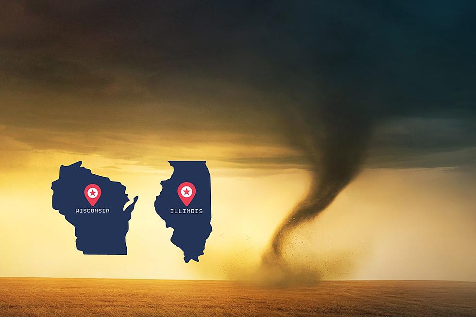
New “Destructive” Thunderstorm Warning Will Send Alert to your Phone
Beginning Monday, August 2, the National Weather Service will be adding a “damage threat” tag to Severe Thunderstorm Warnings:
“Destructive Damage Threat” --- “Considerable Damage Threat” --- “Base”
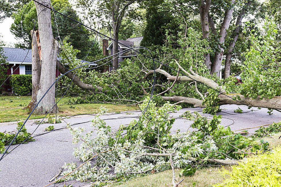
The criteria for a DESTRUCTIVE DAMAGE THREAT is at least 2.75” diameter (baseball-sized) hail and/or 80 mph thunderstorm winds. Warnings with this tag will automatically activate an Emergency Alert on smartphones within the warned area.
The criteria for a CONSIDERABLE DAMAGE THREAT will feature at least 1.75” diameter (golf ball-sized) hail and/or 70 mph thunderstorm winds. This will not activate an Emergency Alert on smartphones.
The criteria for a baseline or “base” severe thunderstorm warning will remain unchanged: 1" (quarter-sized) hail and/or 58 mph thunderstorm winds. This will also not activate an alert on smartphones. When no damage threat tag is present, the damage is expected to be at the base level.
According to the National Weather Service, on average, only 10%of severe thunderstorms reach the destructive category each year across the nation.
These include Derechos and some of the larger, more intense thunderstorms, called “Supercell” storms that can typically produce very large hail.
13 of the 22 costliest weather disasters in 2020 were severe thunderstorms. The costliest thunderstorm in U.S. history is the $11 billion Derecho that affected Iowa last summer. That storm had a path of 770 miles in 14 hours of destruction. The Midwest Derecho was responsible for four deaths.
Last year’s Billion Dollar Storms led to 262 deaths in the U.S.
So far this year (as of 7/22), the National Weather Services in Iowa has issued a total of 233 Warnings for Tornadoes AND Severe Thunderstorms. That's the fewest number since 1995.
KEEP READING: 50 activities to keep kids busy this summer
See the Must-Drive Roads in Every State
More From 97.7 KCRR